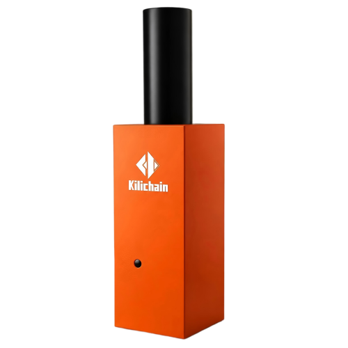
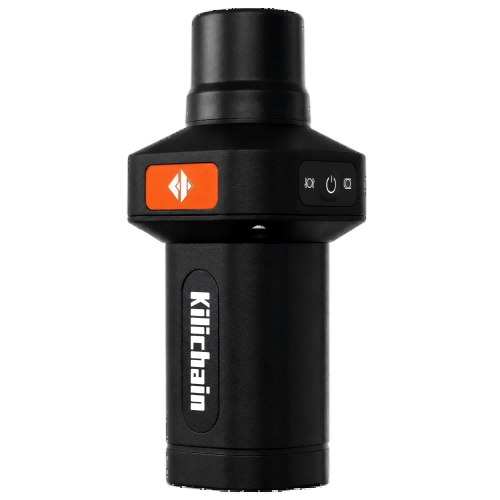
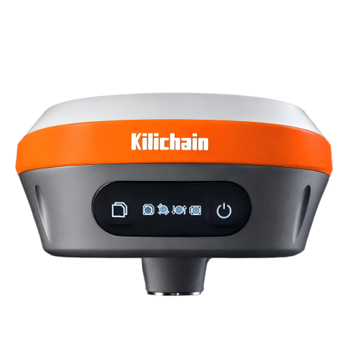
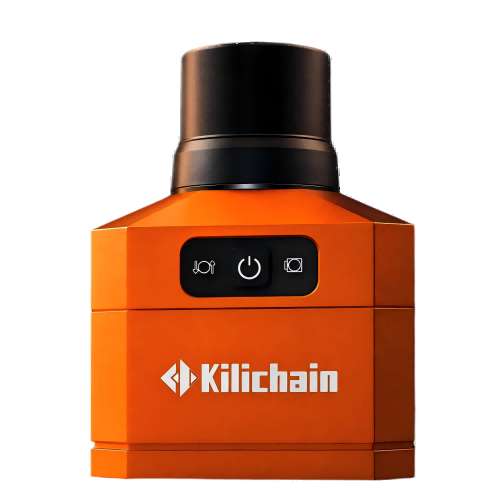
GNSS Smart AntennasFocux 7
Smaller and Lighter
Ntrip Network GNSS Rover Receiver
IMU Equipped, Portable and Robust to Survey
Inquiry
Overview
Key Features
Parameters
Applications
Download
Related Products
Overview
More compact size, integrating a high-capacity battery, GNSS antenna, satellite positioning module, Bluetooth, etc.
High precision and low power consumption, employing mainstream global satellite navigation systems such as BeiDou, GPS, GLONASS, Galileo, and QZSS, enabling operation in complex environments and outputting high-precision positioning accuracy;
Uses a universal standard Type-C charging interface, supporting both rechargeable battery charging and Type-C charging;
Ultra-long battery life and low power consumption, with a built-in 6800mAh* high-capacity battery supporting over 20 hours of continuous use;
Built-in Bluetooth 4.0* module, supporting Android terminal connectivity;
Standard IP54 waterproof and dustproof design;
Total device weight of 0.45kg, making it more portable;
Can be handheld or directly screwed into a range pole for measurement, applicable to multiple scenarios;
Matching GeoCell software has frequently used functions such as measureme
Key Features
The Power of GNSS+IMU RTK Technology
The precise coordinates can be measured even if the pole body is tilted and the point measuring efficiency will be increased by 20%, and the staking efficiency increased by 30%.
Full Constellation Multi-Band
Fully support BDS, GPS, GLONASS and Galileo systems, adapt to a variety of complex and harsh environments, ensuring a centimeter-level positioning accuracy.
Simplified Design
Simple design, focused on surveying and mapping. With careful surveying and mapping, the product simplifies the core functions to facilitate users to use efficiently and improve work efficiency. It is compact and light, weighing only 550 grams.
Network Connection
The device is professionally used for CORS network connection high-precision measurement terminals, supports rapid acquisition of network differential data, and is a good tool for urban construction and planning. It supports matching with most Android apps via built-in 4.0 Bluetooth module, supporting a variety of Android cellphone connection.
Specification Excerpts
Performances
Channel1408
GPSL1C/A, LIC, L2P(Y), L2C, L5
GLONASSG1,G2,G3
GalileoE1, E5a, E5b, E6
BDSB11, B2I, B3I, B1C, B2a , B2b
QZSSL1C/A,L1C,L2C,L5
SBASL1C/A
Positioning rateDefault 1 HZ, Maximum 20 HZ
Real time kinematics (RTK) (1)

Horizontal: 8mm + 1ppm RMS

Vertical: 15mm + 1ppm RMS

Initialization time: < 5 s Initialization 

reliability: > 99.9%

Single point

Horizontal: 1.5m

Vertical: 2.5m

                                                                                                                      PPP

Horizontal: 5cm (RMS)

Vertical: 10cm (RMS)

DGNSSHorizontal: 0.4m (RMS)

Vertical: 0.8m (RMS)

RTK Tilt (2) compensatedSupports tilt angles 0-60°; tilt accuracy of 25mm (within 30 °)


Physicals
Size80mm×70mm ×69mm
Weight450g
Working temperature-45°C to +75°C (-49°F to +167°F)
Storage temperature-55°C to +85°C (-67°F to +185°F)


Electricals
Input voltageDC5V ≤1A
Battery capacity6800mAh
Power consumption1W
Battery life (3)≥23 hours


*All specifications are subject to change without notice.

(1) Accuracy depends on the open sky, free of multipaths, optimal GNSS geometry and atmospheric condition. 

(2) Only Focux 7 (elite) supports. (3) Battery life is subject to the particular operating temperature.


Applications
Urban Planning Transport Management Land Surveying Engineering Surveying
Download
欢迎:
Related Products