GNSS Handheld TerminalsK70
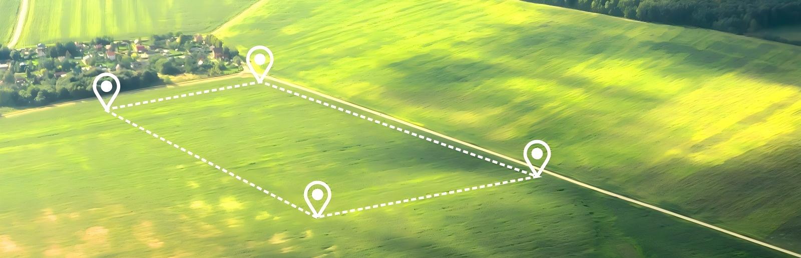
Built-in RTK Algorithm
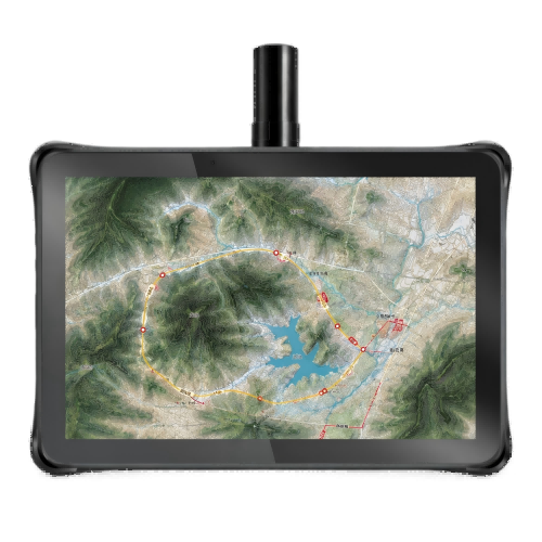
Centimeter-level Positioning Accuracy
Four-arm Helical Antenna
Inquiry
Overview
Key Features
Parameters
Applications
Download
Related Products
Overview
A new generation of high-precision industrial-grade GNSS handheld device, supporting centimeter-level accuracy and a 5.5-inch ultra-clear large screen. Built-in high-precision board, combined with an external four-arm spiral antenna, supports all global civil navigation satellite systems (including BDS, GPS, GLONASS, Galileo, IRNSS, QZSS and SBAS). Supports RTCM protocol, supports multi-system multi-frequency raw observation data output, and can be widely used in third-party integration and application. Integrated with RTK technology, centimeter-level navigation accuracy can be achieved by receiving base station correction data. Applied to various spatial data collection, inspection and patrol work, widely used in land, electricity, forestry, environmental protection, highway, railway, ship monitoring, oil and gas pipelines, mining boundary exploration and other industry applications.
Key Features
Real Time Kinematic Support
Support BDS, GPS, GALILEQ. GLONASS, QZSS full-system GNSS, built-in RTK algorithm, supports centimeter-level accuracy.
Four-arm Helical Antenna
The four-arm helical antenna has a cardioid pattern, a good front-to-back ratio, and excellent wide beam circular polarization characteristics, making it very suitable for use as a receiving antenna for satellite positioning systems. The tablet is equipped with an antenna that gives this advantage.
Waterproof and Dustproof
The IP65 protection level enables the tablet to maintain normal operation in a variety of environments and stably collect workplace data.
Long Battery Life
Although the device is small, it still has a long battery life. Moreover, the battery is removable, and the battery replacement is feasible and efficient, ensuring the uninterrupted execution of project data collection.
Specification Excerpts
Performances
Channels1408
GNSS

GPS/QZSS: L1C/A, L2P(W), L5 

BDS: B1I, B2I, B3I, B1C, B2a 

Galileo: E1, E5a, E5b 

GLONASS: G1, G2

Single point accuracy2.5m CEP
D-GNSS accuracy<1.0m CEP
RTK accuracy

1.5cm + 1ppm (H)

6.5cm+ 1ppm(V)

Time to first fix

Hot start: 2s

Cold start: 24s

RTK Convergence: <10s

Operation systemAndroid 10
Memory4GB+64GB
Expand memoryMicro SD block, Maximum support 256GB
Bluetooth2.1+EDR/3.0+HS/4.1+HS+5.0
Rear Camera1300W Pixel HD camera,supports autofocus, flash lamp
Front camera500W Pixel camera (optional)
SensorLight proximity sensor, gravity sensor; Optional: Gyroscope, barometer, magnetometer


Physicals
Size166*79*23mm
Weight
ColorBlack
Display screen5.5inch, resolution: 720*1440
Ingress protectionIP65
Working temperature-20℃ to +55℃
Storage temperature-40℃ to +70℃
Humidity0-95%


Electricals
Battery

4900mAh removable 

Standby time>350 hours 

Working hours>12 hours (depending on the usage environment) 

Optional fast charging, supporting 18W  

Charging methodType-C charging and POGOPIN port charging, 5V 2A

*All specifications are subject to change without notice.

(1) Accuracy depends on the open sky, free of multipaths, optimal GNSS geometry and atmospheric condition. (2) Battery life is subject to the particular operating temperature.


Applications
GIS Data Collection
Download
欢迎:
Related Products