



Jiaxing, Augsut 23, 2026
Accurate, Efficient, Reliable—Kilichain Palm 3 is Redefining Fieldwork Across Africa
From the bustling construction sites of Lagos to the remote highways of Edo State, Africa's diverse terrain and complex environments have made the Kilichain GNSS RTK Palm 3 a reliable partner for surveyors and engineers. This compact, high-performance receiver has become an indispensable tool for numerous engineering surveying projects, providing centimeter-level accuracy required for critical infrastructure construction.
The Palm 3 is a powerful, fully integrated GNSS smart antenna. Weighing only 550 grams, it tracks signals from all major global navigation satellite systems, including GPS, GLONASS, BeiDou, Galileo, and QZSS. This multi-constellation support ensures reliable positioning even in complex environments with signal obstruction, common in densely populated cities. Its compact size and lightweight design make it highly portable, especially suitable for surveyors who need to survey large areas on foot.
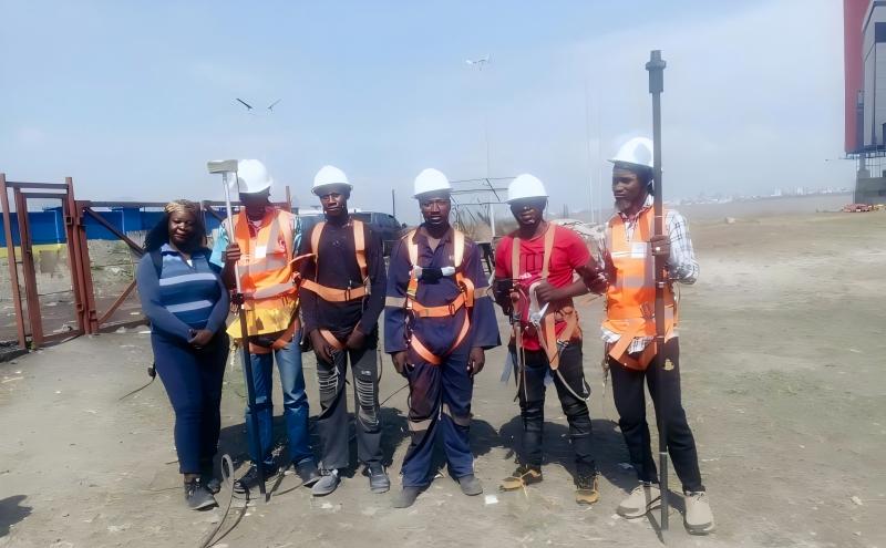
(Kilichain GNSS RTK receiver Palm 3 user)
In a recent residential construction project in Lagos, Nigeria, Palm 3 was deployed to provide accurate topographic and cadastral data to support project planning. The device is easy to use and can quickly acquire network differential data via CORS connectivity, enabling the surveying team to efficiently map the site and ensure the project is based on accurate data. This reflects the widespread need for high-precision mapping across the continent, such as for community road route surveying projects that require detailed topographic and cadastral data for design and road use determination.
The Palm 3 is an ideal solution for a variety of engineering surveying applications:
Topographic and Cadastral Mapping: This device simplifies the acquisition of high-precision 3D coordinate data, which is crucial for creating accurate maps for land management, construction, and urban planning. For surveyors working on land demarcation projects (a pressing need in many African countries), the Palm 3 offers a faster and more efficient alternative to traditional theodolite traverse surveying, helping to accelerate land registration and promote sustainable development.

(Using Palm 3 to do field data collections)
Construction Site Layout: The Palm 3's integrated GNSS+IMU RTK technology revolutionizes construction layout and site planning. The IMU provides tilt compensation, meaning surveyors can quickly and accurately measure points even when the poles aren't perfectly vertical. This feature can increase layout efficiency by up to 30%, significantly speeding up the layout of buildings, roads, and other infrastructure.
The device's ruggedness is also a major advantage. With an IP67 protection rating and an operating temperature range of -45°C to +75°C, the Palm 3 can withstand the extreme temperatures and harsh environmental conditions common in African fieldwork. Its durable 4800mAh battery provides over 16 hours of continuous operation, ensuring a full day of fieldwork without the need for recharging.
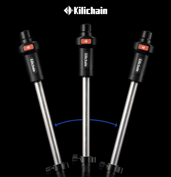
(Palm 3 tilting compensation)
“The Kilichain Palm 3 has always been a valuable asset to our team. Its affordability and centimeter-level accuracy mean we can deliver high-quality results to our clients without exceeding project budgets,” said a surveyor using the device in Lagos. Professionals throughout the region agree, appreciating the device's superior performance and competitive market price, enabling advanced GNSS technology to be applied to a wider range of projects—from student learning and personal surveying to large-scale engineering and planning projects.
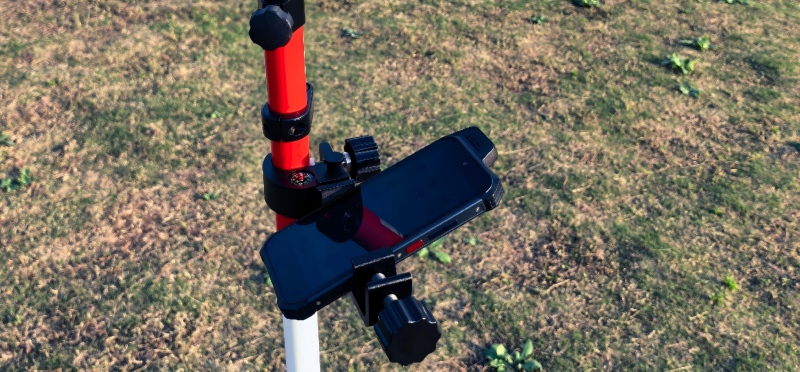
(Controller K20)
As African countries continue to increase investment in infrastructure, land management, and urban development, the need for efficient and accurate surveying solutions is more urgent than ever. The Kilichain GNSS RTK Palm 3 was created to meet this need, providing local surveyors and engineers with the technology to efficiently acquire high-precision data, helping them build the future of the African continent.
From the arid plains of the Sahara Desert to the rapidly developing urban centers of Africa, the Palm 3 is becoming the tool of choice for surveyors—a testament to Kilichain's commitment to providing convenient, high-performance solutions for the geospatial industry.
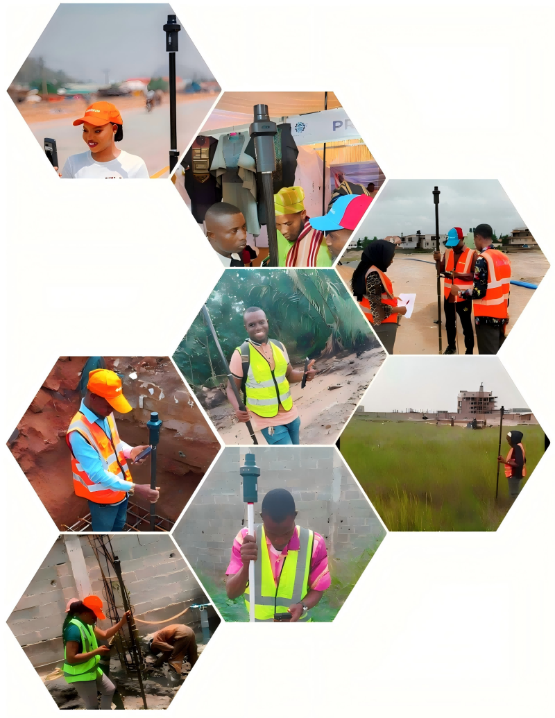
(Palm 3 user clients)
About Kilichain
Kilichain is a fast-growing provider of end products, creative designs, solutions and technologies for geospatial, construction, navigation and timing applications. Our product portfolio includes GNSS precision measurement, automatic navigation, precise timing, and unmanned & automated system solutions based on our products and technologies. We help customers meet and overcome challenges in a more convenient way, providing our customers with more competitive technical solutions.